How to measure the distance between several points on Google Maps?
Measure distance on your Android device
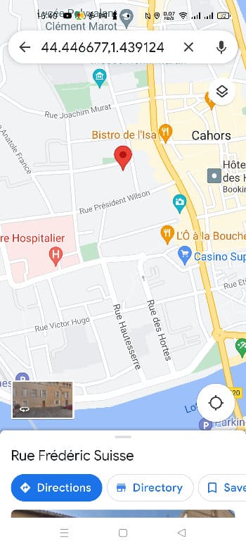
Measuring distance on your Android device couldn’t be simpler. Just open your app Google Mapsthen on the displayed map press and hold anywhere (which will be the starting point of the measurement) as long as this location does not correspond to a name or an icon.
A red marker will appear:
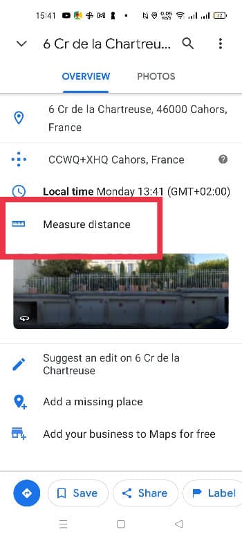
All you have to do is touch this mark once to see a new page appear on which you will be able to select: Measure a distance.
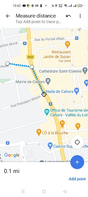
Click on this link once, the map will appear again. Move it to position the black circle on the point to add. The total distance should normally appear when you move the map. In the image below, 0.1 mile (about 170 meters).
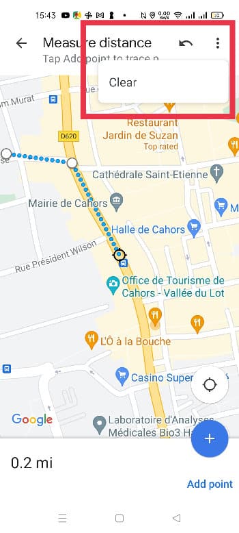
It is possible to add an additional point by simply clicking on the blue button + located at the bottom right. In the event of an error, you can also cancel the previous point or completely reset the distance measurement:
Regardless of the number of points, the total distance (expressed in kilometers or miles) appears at the bottom left of the screen.
When you have completed your measurement, simply click on the arrow icon located at the top left of the screen to return to the previous page.
Read also: Babbel the star app for learning a foreign language is on sale at -40%!
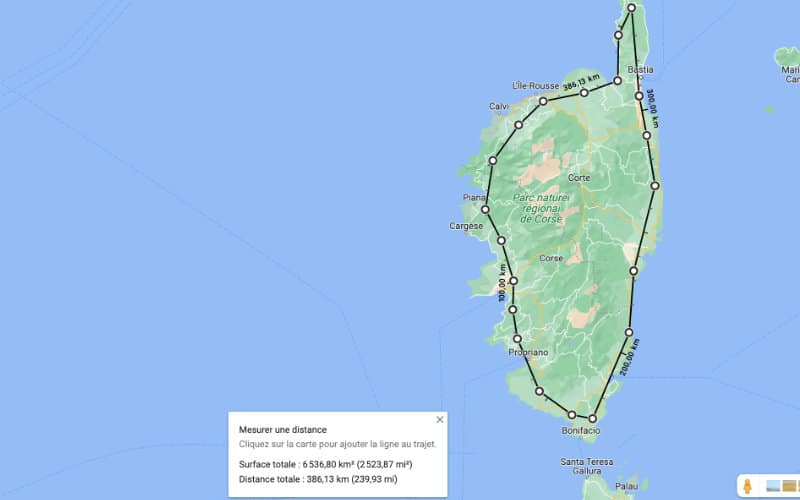
How to measure distance on your computer?
You can also measure the distance between points on a map on your computer. Just open Google Maps then right click on the starting point, choose Measure a distance in the drop-down menu, then left-click on another place on the map, and so on for each new point on your route. You will thus be able to obtain the distance between each point, the total distance, and if necessary the surface of the area you have selected.