Hikes and bike rides: the best apps for planning your outings
Contents
► Komoot, a sure bet on the market
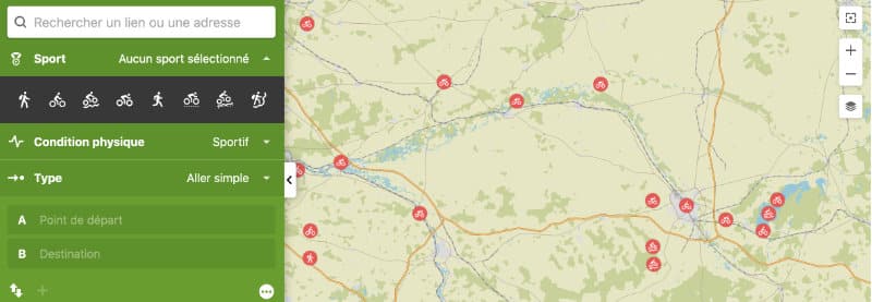
Komoot is one of the most comprehensive and popular bike route planner apps. With an easy and relatively intuitive handling, Komoot takes into account multiple parameters (surface, physical form …) to define the best route to connect a point A to a point B. Equipped with a large panel of maps, Komoot offers you offers the first region in unlimited access, even offline. To have access to other regions, it is necessary to heat the credit card to finance regional packs. Another advantage of Komoot is that you can synchronize your activities with many electronic devices. We have already told you about this application in a dedicated article.

Read also: Whympr: the ideal app for mountain, hiking and outdoor trips
► Strava, for competitors attentive to their performance
Strava could be defined as a social network composed exclusively of athletes. Created in 2009, the application brings together nearly ten million users. It offers the possibility of recording its performances and comparing and sharing them with other members of the application. The performances can be entered manually, recorded directly during the effort or be downloaded by synchronizing his Strava account and the electronic object that recorded the performances. To motivate themselves, challenges are also launched by members of the social network. Strava supports its users to set up the best routes from a sporting point of view. In Swedish, Strava means “to strive to do something relentlessly”, a phrase that reflects the values of the app. Note that in addition to targeting cyclists, Strava is also targeting runners.
► Geovelo, secure and adapted routes
French application created in 2010, Geovelo has a watchword: safety. By entering the point of departure and arrival, the application offers three routes: the most secure, the most recommended and the most direct. It follows its users in real time, warning them of possible obstacles (work, dangers, etc.) and providing information on where to park their bike. In addition to the routes, the application offers rides designed by Geovelo and cycling associations with which the start-up works.

► Google Maps, exceptional cartography, and that’s it …
Leader in the itineraries market with global mapping, Google maps offers routes for cars, bicycles, on foot and sometimes public transport. If the speed of the geolocation and the accuracy of the cartography are rather good or even excellent, Google Maps does not always offer the most secure routes. Thus, it can sometimes indicate routes that could endanger its users. A logical fact since this service was not only designed for bicycles. Moreover, there is no other option than that of entering a point A and a point B (or even other intermediate stages) to find a route. Another element that can be disturbing, more from an ideological point of view, Google Maps uses user data for commercial purposes.
► Bike Citizens, the special app for city trips
Bike Citizens is an application designed exclusively for cyclists in town and in the suburbs. It covers nearly 450 large cities around the world, including Paris, Lyon and Bordeaux. By purchasing the Premium subscription for € 3.50 per month, you are giving yourself the opportunity to benefit from the Bike Citizens service worldwide. Among the interesting services, the possibility of downloading the cartography of an area to be able to use it offline. Bike Citizens adapts to the type of bike of the user by trying to offer routes with an adequate road surface. The safety and visibility of cycle paths is also one of the main features of this App.
► Outdooractive, for mountain bikers and hiking lovers
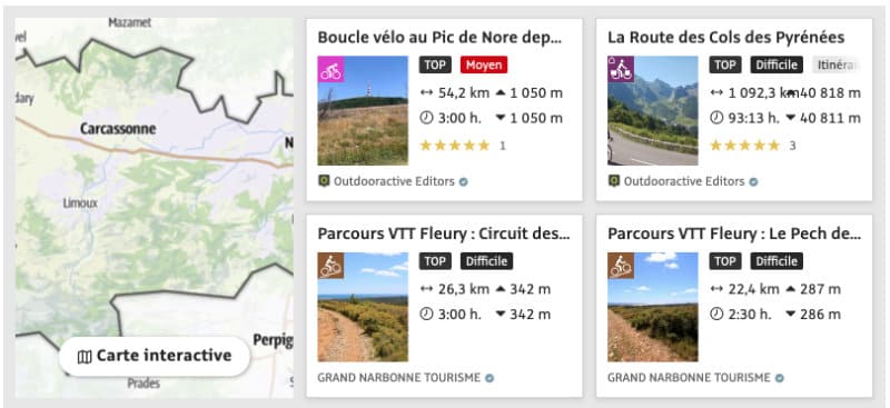
Outdooractive offers a wide range of hikes, including bike tours. The routes are accompanied by photos and can be shared with friends. The routes are essentially footpaths, paths and cycle tracks, ideal for mountain bikers looking for long trips, a little less for fans of road biking and cycling in the city.


