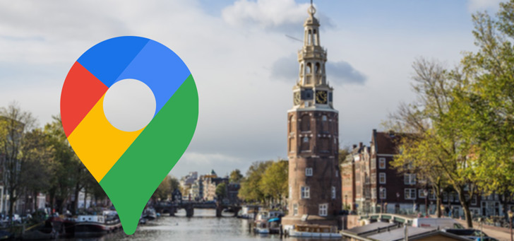
Google Maps will map the detailed air pollution in Amsterdam
Google has announced that it will map the air quality of Amsterdam and make it available in Google Maps. This will be done at street level, so that you can immediately see what air pollution is involved in the capital of the Netherlands.
Air quality Amsterdam in Google Maps
In May 2019, Google announced that it would measure the air quality in Amsterdam. The well-known Street View cars were used for this. The data was collected at street level and measured in collaboration with the University of Utrecht and the Municipality of Amsterdam. Now the three parties are sharing the first results, with a map of the air quality in Amsterdam. Ultra fine dust, soot and other substances in the streets of Amsterdam were examined. This data has now been made transparent by means of the map below. The data comes from approximately six million measurements, which were collected over 9 months in 2019 and 2020.
Google shares the following insights in its press release;
Motorized road traffic in Amsterdam is the most relevant source of air pollution. Air pollution in a busy street is about three times higher than in a quiet street with little traffic. The highest concentrations on the maps can be seen at the main access roads to the city, where there is a lot of car traffic. The A10 ring road has the highest concentrations for ultrafine particles, nitrogen dioxide and soot. Streets such as Stadhouderskade, Wibautstraat and Nieuwe Leeuwarderweg also score significantly higher than surrounding neighborhoods and streets. Concentrations around the city center appear to be higher compared to the neighborhoods that are more distant from the center (eg North, New West, South East). In addition, there is an increase in ultrafine particle concentrations in the vicinity of Schiphol.
Google Maps
Project Air View is not only being carried out in Amsterdam, but also in Dublin, London and Copenhagen. The data collected will also be shown in Google Maps. The company previously announced that it would show air quality in Google Maps. Google is also working on environmentally friendly routes and will map environmental zones.