Google Maps quietly removes Corona map from app
In September 2020, Google launched a new feature for map service Google Maps. The new feature was a COVID layer that could be overlaid on the map. It is no longer available from now on.
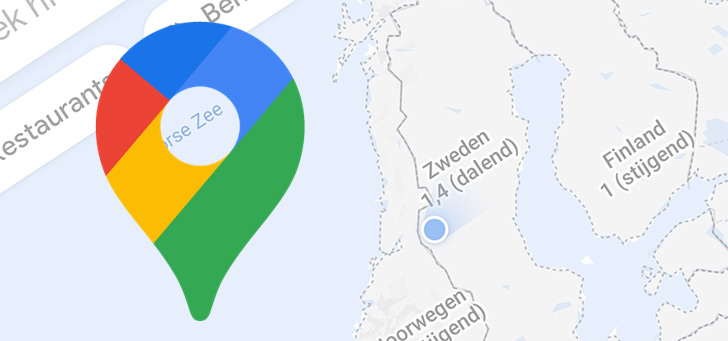
Corona layer in Google Maps
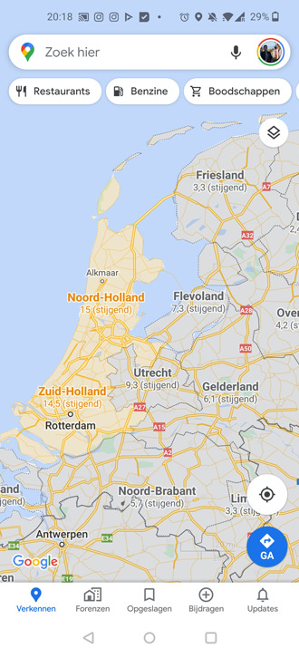
Google has quietly removed a feature from the Google Maps app. A new server-side update has removed the COVID layer from the layers, so you can no longer use it in Google Maps. The feature was introduced in September 2020 and provided insight into the Corona cases per country. You could see exactly what the number of infections was, along with color codes. You could see per country, but also per region, whether the number of infections was increasing or actually decreasing. The information was obtained from various sources.
Google has now stopped showing this layer. According to Google, the reason lies in the decreased use of the function, which is why it is no longer available in Google Maps for mobile and for PC. However, you can still use Google Maps to search for, for example, test centers and vaccination locations.

Through SmartDroid