Why it isn’t just a disappointment
There are many navigation apps for smartphones and the like, but Google Maps is clearly ahead. Now the federal government also wants to get involved in this area without competing with Google. But the Autobahn app lacks one crucial feature.
Contents
Today the Autobahn app of the newly created Autobahn GmbH of the federal government starts. The application for Android and iOS should become a reliable companion on Germany’s highways. Included she renounces the most important function, which every user would expect: the navigation. “The Autobahn app is not a navigation app and therefore does not compete with established navigation providers,” says a paper by the developer (source: dpa via t-online). What is the app good for then?
The Autobahn app cannot navigate itself – at first glance it looks like a colossal failure. But for this crucial feature, the developers have paid attention to compatibility. The navigation should take place at the start via Google Maps and Apple’s maps under iOS. For this purpose, planned routes are exported directly to the apps. The Autobahn app can do without location data, but it can be activated voluntarily.

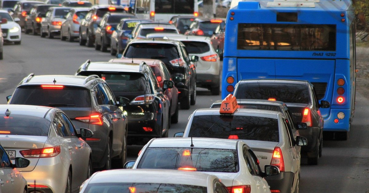
The most interesting function is the integrated access to Webcams along Germany’s highways. In this way, users of the app should be able to get an overview of the traffic volume at selected points – for those who are interested it is certainly a nice pastime, even if you don’t have to go anywhere.
The Autobahn app is not intended to be an alternative to Google Maps, but rather to expand the service. You can find out which useful tricks you should know about the Google navigation app in the Video:
Autobahn app: helpful, but not for everyone
The Autobahn app should continue to work exclusive functions take off: Among other things, it is possible to plan and save routes. On the way, these should then be supplemented by current traffic reports. There is also information about closures, construction sites and diversions, about petrol stations and rest areas as well as e-charging stations along the route that go beyond the usual data from Google Maps and Co.
They should be available to users more quickly than, for example, on Google Maps, and for travel planning in a later version there should also be data on when a blockage will be lifted. Particularly practical for professional drivers: The app also provides information, for example, about toilets and showers at rest areas or whether WiFi is available. All of this is based on data that is only available to Autobahn GmbH, what the new app is on the way should actually make it an asset.