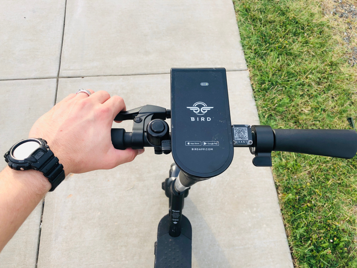
This is how Bird wants to keep you from driving the scooter on the sidewalk
The scooters should not be driven on sidewalks, so the provider Bird has developed an elaborate warning system. (Photo: ZikG/ Shutterstock)
Annoying beeping noises should deter tenants from driving on the sidewalk. Precise location requires a good dose of high-tech from Switzerland.
E-scooters shouldn’t drive on the sidewalks, but hardly any tenant adheres to this requirement. Hence, the providers of such services have upgraded. For example, Lime uses a statistical model for calculation. Others are working with cameras and sensors to make the scooters remotely controllable. Bird’s solution, on the other hand, is based on satellite positioning. Since 2019 they have been working on this “incredibly difficult challenge”, the company proudly announces.
Bird calls the system “Smart Sidewalk Protection”. The task was to correctly map sidewalks with minimal cost and effort. In the next step, it notifies the driver when he leaves it. However, the GPS data is rather imprecise in cities. On the one hand, this is due to the urban canyon effect – the “shadow” of the houses prevents correct mapping of the soil. On the other hand, tall buildings also interfere with the signals. Measuring the sidewalks with the scooters is also difficult: the images from mobile cameras are distorted. So the US market leader in scooter matters looked for a partner: the Swiss company U-Blox specializes in positioning.
The core of the solution is called ZED-F9R. The dead reckoning module combines satellite navigation with sensor data. ZED-F9R supports the signal types and constellations of GPS, Galileo, Glonass and Beidou. Together with the sensor data (speed, acceleration, orientation, etc.), the system calculates the exact position of the vehicle and compares it with that of the sidewalk. Bird writes that the precision is in the centimeter range. The technology has also been adapted to the driving dynamics of the scooter. ZED-F9R can be easily installed in the vehicles and does not require expensive external hardware.
In the letter, Bird also reveals how the module becomes a system.
- Step 1: It starts with a geofence contour created from satellite imagery or urban GIS data.
- Step 2: From here we measure the location of three urban landmarks with surveying equipment. Few measurements are required for each city.
- Step 3: Once the landmarks are identified, we compare their position with the satellite imagery to determine offsets and rotations.
- Step 4: Based on these offset and rotation values, the original outlines of the geofence are shifted and transformed.
- Step 5: After our geofence outlines have been updated, they will be loaded onto our vehicles to avoid latency.
The module can compare the measurement results with the vehicle position in real time. If you drive onto a sidewalk, you can see for yourself: An annoying warning sound sounds. There is also a mobile notification. If the scooter remains on the sidewalk, the vehicle brakes until it comes to a standstill. Bird will first test the system in Milwaukee and San Diego, then Madrid will follow. The company hopes to deploy it globally in the not too distant future.


