MapFactor Navigator invites you to view district boundaries
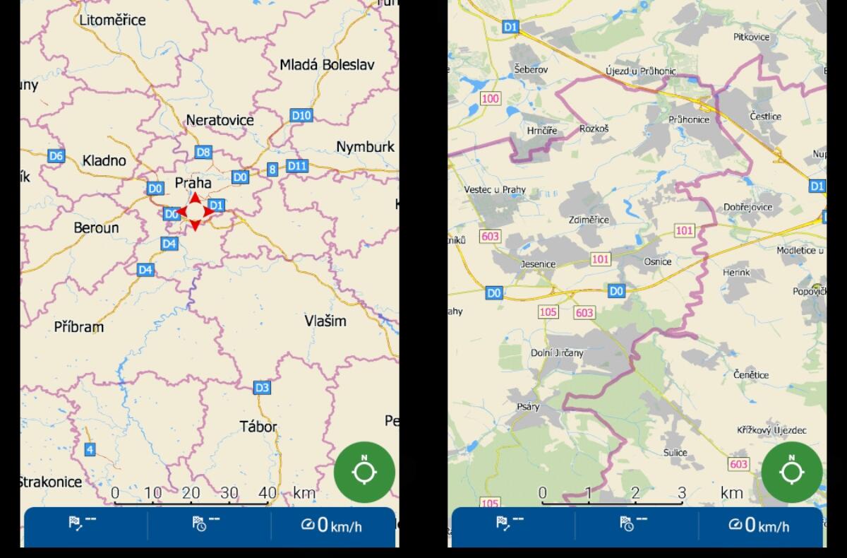
The Czech government intends to introduce current anti-pandemic measures (unless the restriction is even tougher in the end) ban on traveling outside the district of residence. If you already know your surroundings perfectly, you will not have major problems recognizing these regional borders. However, there may be situations where you may not be completely sure. For this reason, a mobile tool will certainly come in handy, which will help you show and watch the “line” when traveling. The Navigator application from the Czech company MapFactor is offered directly display of district boundaries. In addition, with the possibility of highlighting them.
MapFactor Navigator – GPS Navigation Maps
View district boundaries in MapFactor Navigator
For example, in Google Maps or the Mapy.cz application, you have the option of displaying the boundaries of districts or other regions after searching for the given name. However, the Navigator has these territories marked directly in the basic documents. In addition, it is possible to emphasize a lot in it the lines that separate the individual districts.

In the free and premium version of the application, a thin purple line delimits the district boundary by default. This is a basic way to register the edge of the region when traveling. But since the line is really thin, the option is definitely a good idea change its appearance. Just go to Settings / Map customization / Edit color scheme / Lines / District and there you can choose not only a different border color, but also its thickness.

As in other map or navigation tools, this application can also display the district or regional affiliation of a given place, which can also be useful.
What do you say about the measures currently being implemented?
Source: MapFactor